Antur Fort
Anturgarh Thana is situated at a strategic location on the east-west stretch of the Ajantha-Satmala Sahyadri. It is in Kannad Taluka of Aurangabad District. The fort is a protected monument of the Department of Archeology, Government of Maharashtra.
How to go?
There are two ways to reach Antur Fort. A road from Kannad leads towards Nagad through the Gautala sanctuary. Further to this road is a side road leading to Sillod. This road is eight to nine km. Above is a small village called Nagapur. A dirt road leads from this village to Anturgarh. There is also a small settlement called Kholapur on this route. The road next to Kholapur gets bad during monsoons. Six km from Kholapur. Anturgad is in the distance. This is a square mile stone. The directions of some cities are mentioned on it and this is E.S. It is mentioned to have been installed in 1608. Anturgad can be seen after walking for five kilometers on this generally level road. A spur of the Ajantha Satmala range has penetrated a little to the north. Anturgad is located on this peak. Another route is through Chalisgaon taluka of Jalgaon district. From Nagod village, one can reach Dastapur via Mhaisghat and from there the base of Antur can be reached. After climbing the hill comes the fort. Both these routes converge near the entrance of Antur. This is the only way to enter the fort of Antur. There is a lot of vegetation on the hill slopes.
Places to see in the fort
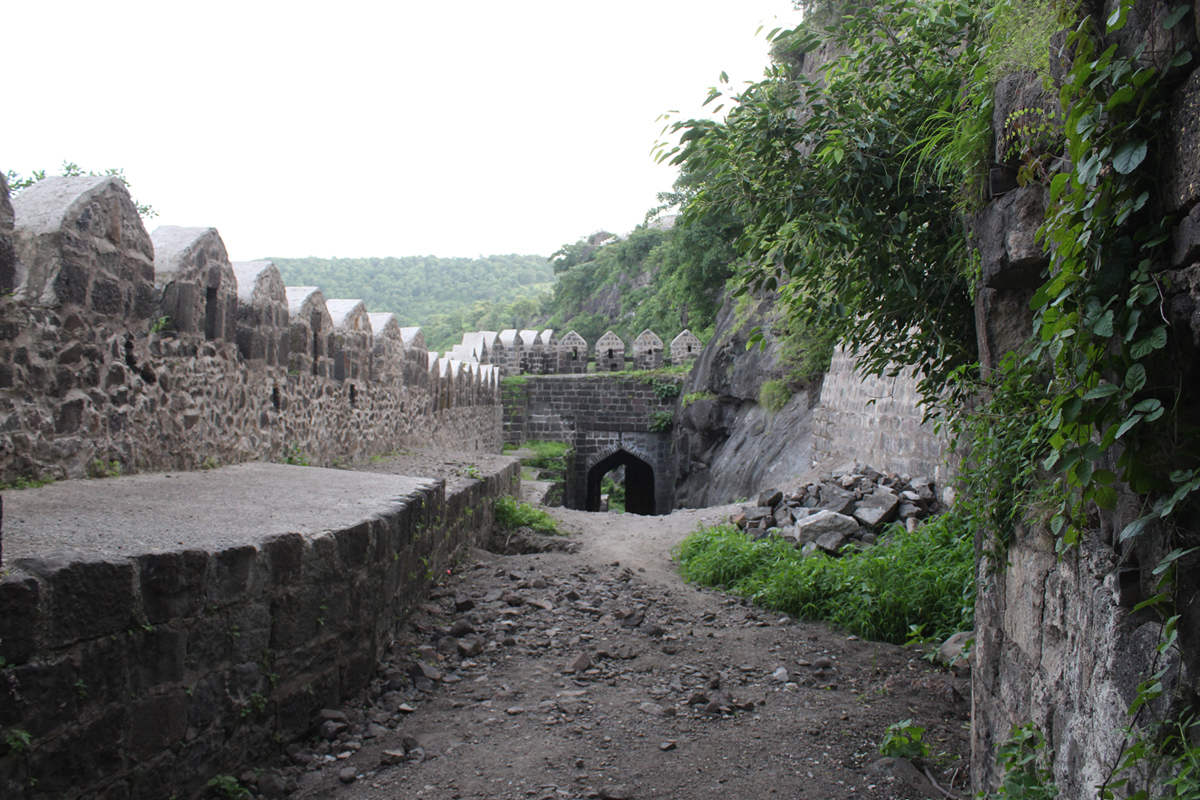
In the belly of the cliff on the eastern side of Antur there is a spectacular gate facing south. Since the gate is in a narrow space, it is not immediately visible unless you are in front of it. Their are guard posts outside the gate here. Until a few years ago (until 1990), this gate had wooden gates, they are now missing After entering through this gate, the inner passage is enclosed by ramparts and is narrow. There are many stones lying on this path. The front gatr, however, faces the east direction. This is a grand gate. Beyond this gate is the third gate. The inner arch of the second gate has sculptures. Such sculptures can be seen in many places. But here four cannon balls are used for decoration along with this sculpture. Such decoration is not found in Maharashtra or outside Maharashtra. Seeing this characteristic decoration, we would enter the fort after observing the magnificent Farsi inscription on the third gate. This entry takes place in the middle of the fort.
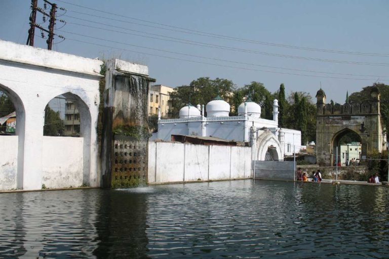
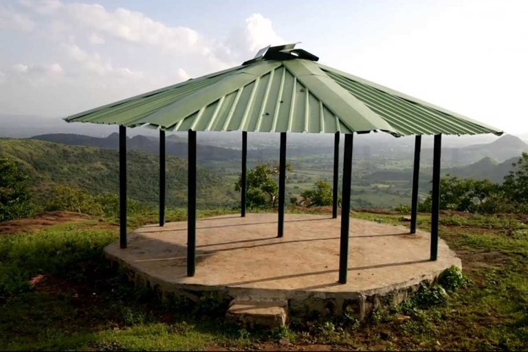
The fort stretches towards the south-east and is surrounded by fortifications. If you continue towards the north end of this embankment, you will find some towers in the embankment on the right. There is a hill on the left and on the south side of the hill there is a big lake. There is a magnificent building on the slope of the hill. One can go to the roof of the building. There are steps for that. On the top of the hill, a large square has been built for the teahouse and there are steps to climb it from the north. From this square one can watch over the entire fort and also get a good view of the Anjatha-Satmala range; The area of Khandesh in the north can be seen. The southern part of the fort is separated by a rampart. There are three gates in this fort. Among them is a large gate in the middle and two large towers on the south side. A water tank is carved near the ramparts on the western slope of the middle hill. The northern part of the fort is like a fort and has been made stronger. A large boat has been carved on this side as the fort is connected to the mountain range. There is a strong fortification on the top of the trench and this fortification is armored. There is a cannon lying here.
History
This strong and powerful fort was built by a Maratha chieftain. Later this fort came under the control of Ahmadnagar Nizamshahi. During the reign of Malik Ambar some constructions were done here. Later, this fort came under the control of the Mughals during the Mogli storm. The British captured this along with other forts.