माणकेश्वर मंदिरावरील अप्रतिम शिल्पाविष्कार – उस्मानाबाद जिल्ह्यातील भूम तालुक्यात माणकेश्वर...

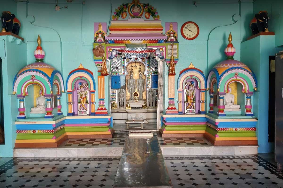
ऐतिहासिकता : हा परिसर कुलभूषण आणि देशभूषण मुनिवरांचे मोक्षस्थान आहे....
गोरा कुंभार (इ.स. १२६७ – १० एप्रिल १३१७) हे महाराष्ट्रातील...

रामलिंगअप्पा लामतुरे संग्रहालय हे उस्मानाबाद जिल्ह्यातील तेर येथे असलेले ऐतिहासिक...

येडशी रामलिंगघाट अभयारण्य हे उस्मानाबाद जिल्ह्यात आहे. स्थापना 1997 साली...

‘धाराशिव लेणी हा मराठवाड्यातील धाराशिव (उस्मानाबाद) गावाजवळचा प्राचीन लेणीसमूह आहे....
परंडा किल्ला उस्मानाबाद जिल्ह्यात परंडा शहरात स्थित आहे.हा भूईकोट किल्ला...
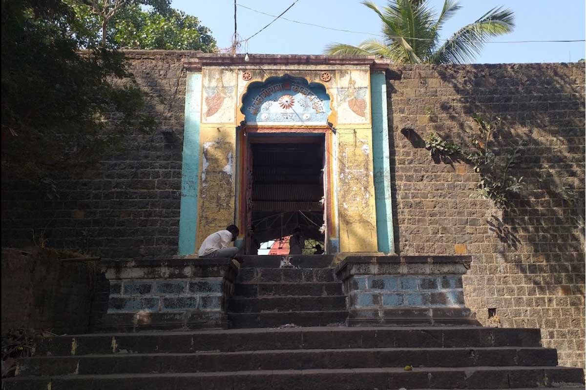
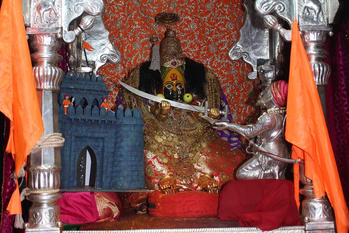
येडेश्वरी देवीच्या मूर्तीची स्थापना त्रैतायुगात झाल्याचे मानले जाते. – बालाघाट...
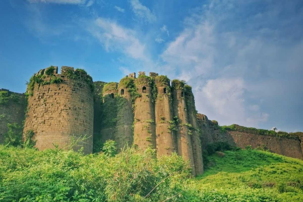
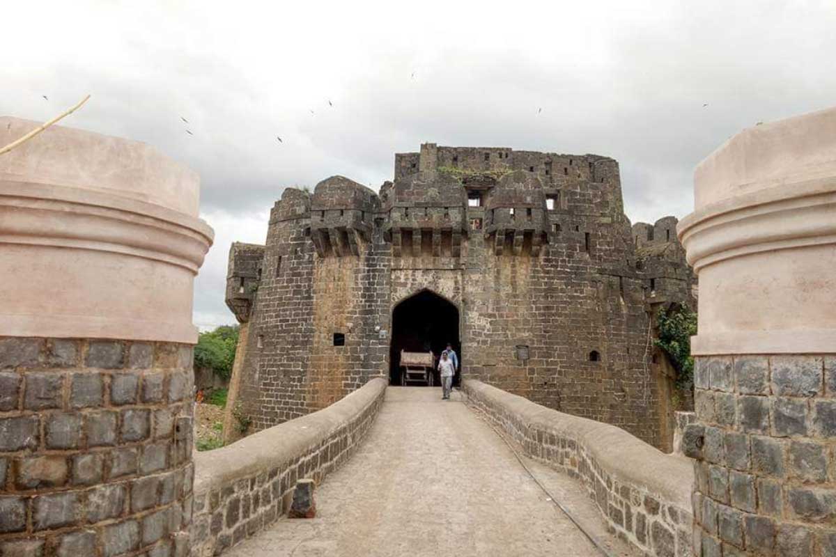
नळदुर्ग हा भारताच्या महाराष्ट्र राज्यातील उस्मानाबाद जिल्ह्यामधील एक किल्ला आहे....
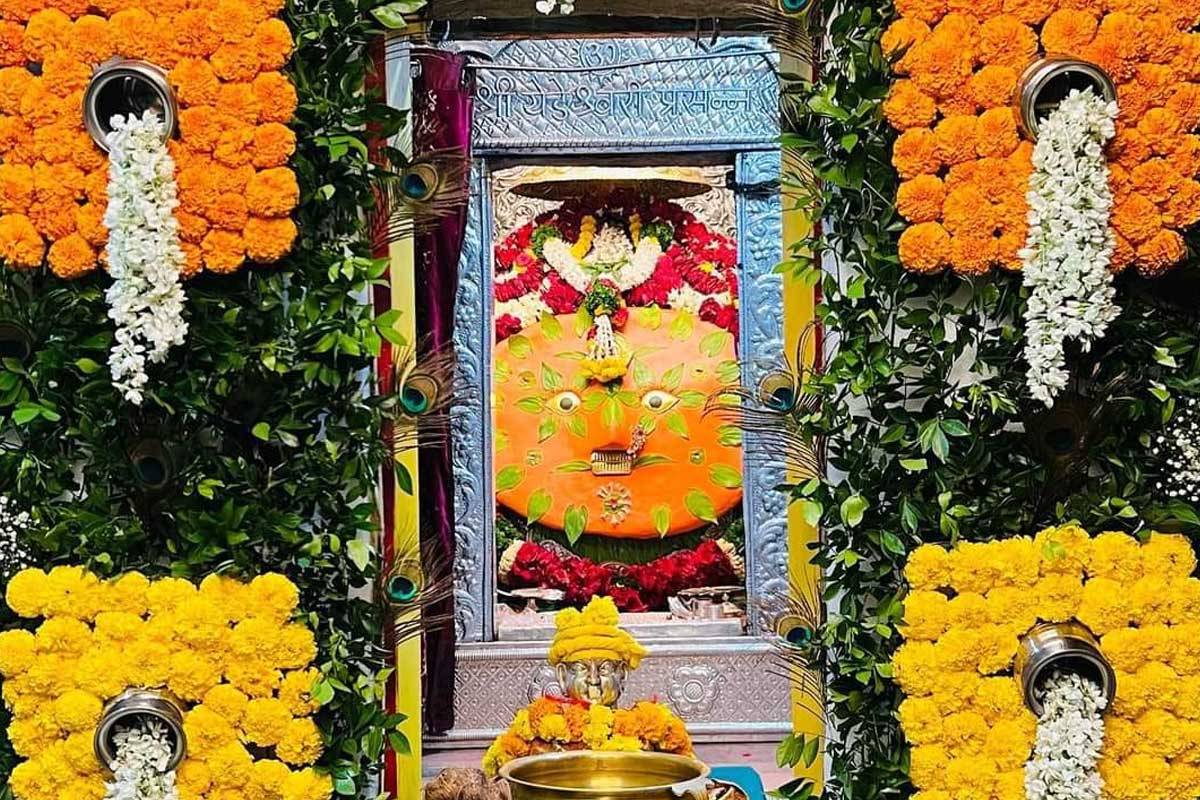
तुळजाभवानी मंदिर हे महाराष्ट्रातील तुळजापूर येथील एक हिंदू मंदिर आहे....